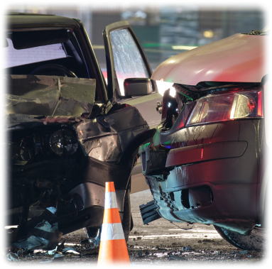
We help professionals recreate crime scenes using 3D modeling so they can conduct analyses and investigations without disturbing the scene. This gives police officers, forensic teams, and criminology experts a comprehensive view of the crime scene and allows them to streamline and optimize the processes of reviewing and analyzing a scene through the use of specialized tools.
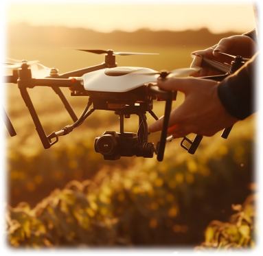
Creating 3D models of land and crops makes it possible to calculate tree cover as well as the measurements, areas, and volumes of crops and cultivated land. This makes it possible to plan more precise agricultural strategies, which in turn leads to a more effective use of resources and increased agricultural productivity.
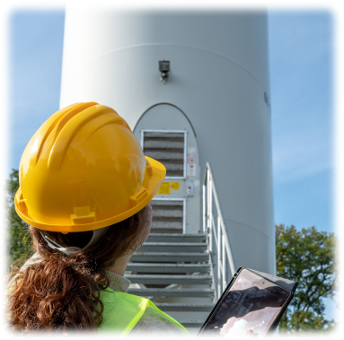
We optimize processes related to the construction and maintenance of structures, infrastructures, and components thereof through the use of 3D models generated by any camera or imported from a laser scanner. This allows for an in-depth analysis and detailed study of these structures, and makes it possible to compare them to the IFC models generated during the planning stage. In this way, we are able to determine the degree to which the IFC models and the 3D representations are alike, thus significantly optimizing these processes.
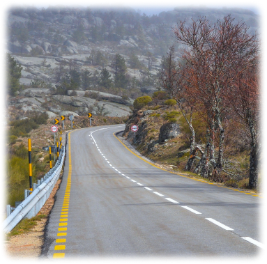
We use Artificial Intelligence to automate and optimize traffic signal inspections, streamlining the inventory of vertical and horizontal signs, along with road surface damages and imperfections. We also assess signs’ level of retroreflectivity, helping to improve road safety.